Case Studies
- Jan 2025 LA Fires
- New Weather Looper
- Sno2Clime Satellite Images
- Gust Potential and Nov 19 2024 Bomb Cyclone
- August 8 2023 Hawaii fires
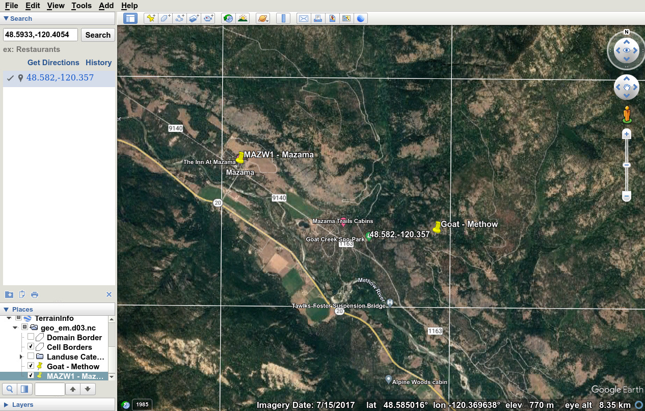
- Site comparisons plot
showing two Mazama sites inside 4-km grid box is here
Aug-Oct 2022
- June 2021 heat wave
May 2021
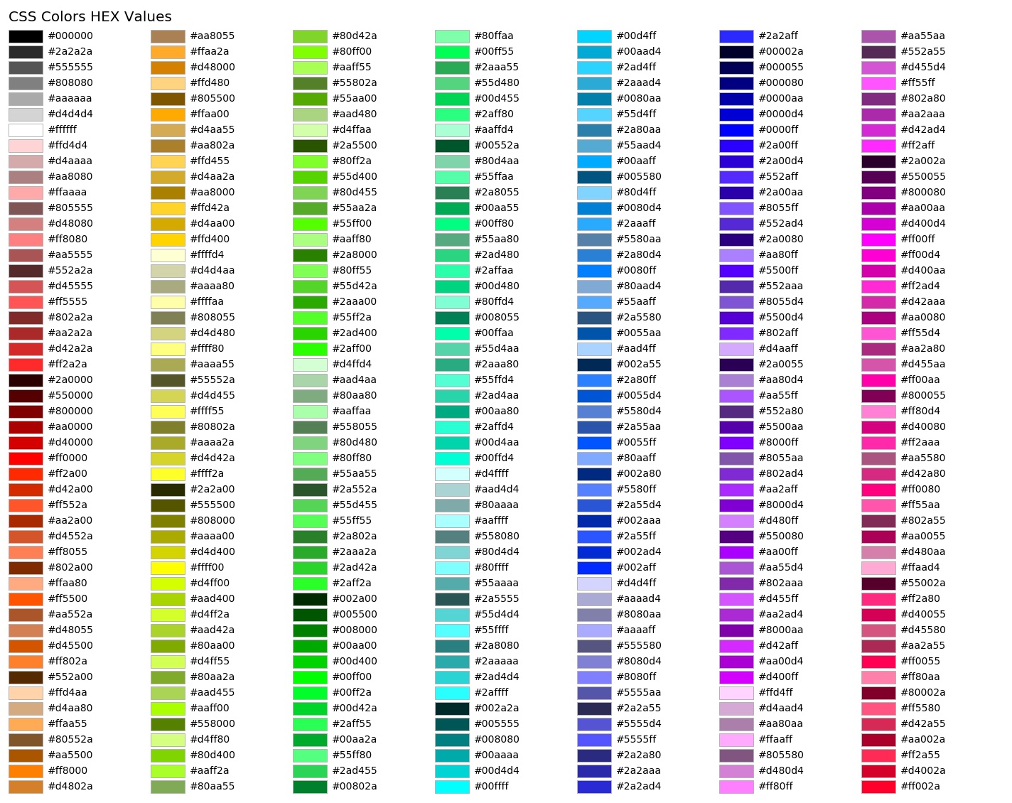
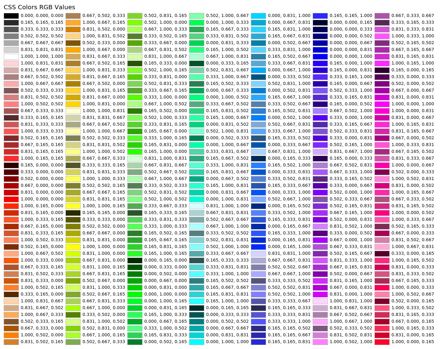
- My color tables sorted by HSV and my color tables sorted by HVS and patterned off of
matplotlib
list of named colors using my code based on 7 values for R, G, B
variations
- rgb343_hsvsort_hsv.py giving rgb343_hsvsort_hsv.jpg
- rgb343_hsvsort_hex.py giving rgb343_hsvsort_hex.jpg
- rgb343_hsvsort_rgb.py giving rgb343_hsvsort_rgb.jpg
Oct 2020
- West Coast Fires September 2020
Mar 2020
- sat loop tester and viewer mode and better hover mode
- all loop tester
- Comparing Observed Winds and Gusts to WRF Forecasts, added Mar 2020
- Switzerland Fog Forecasting, Mar 2020
- Comparing surface wind changes as WRF changed from 3.7.1 to 4.1.3
- Comparing vertical coordinates for hybrid and standard vertical levels in WRF 3.7.1 and 4.1.3
Jan 2019
- Oregon Winds Jan 24, 2019
- WRF v371 vs v403
Dec 2018
- California Fires 2018
- Dec 14, 2018 Wind Storm
Jun 2018
- Smoke
Oct 2017 - Jan 2018
- Calfires
Apr 2017
- MM5 NAM fix for INTERPF problem
Mar 2017
- radt tests
Jan 2017
- Stable PBL work, cold pool cases
- Comparing 1.33-km winds with 4-km winds
Mar 2016
- How to Properly Rotate WRF Winds to
Earth-Relative Coordinates using Python, GEMPAK, and NCL
Dec 2015
- 0z,6z,12z initialization comparisons
May 2105
- Climatological SST runs for Winter 2014/2015
Feb 2015
- 2014 and 2015 cases using high-res
RAP130p grids, Noah-MP, and WRF3.6.1
- Lots of Stats and Cases
aka Nov 2009 - Jan 2010 Wind Bias
- Using RAP for cloud initialization
Prior
- October 2011 domain expansion.
- Fog and cloud-water initialization issues
- Vertical Resolution - Jan 18-19, 2012 Puget Sound snow and freezing rain
- Upper Boundary Issue
- Dec 21, 2008 Wind storm 12-km
4-km
Choose domain and more standard products like the striations page.
- 4/3-km Domain Striations in Cloud Field
- Stability Issues in WRF High Resolution Model Runs Feb 2011
- Effects of High-Resolution Snow Cover Initialization on WRF High Resolution Model Runs Feb 2011
- Winter 2010 Temperature Bias
- Oct 2009 Meeting
- Cloud Water Initialization
- PBL Scheme Stats for July-August 2008 and January-February 2009
- RRTG Radiation Scheme
- Nudging and Clouds
- November 2009 Meeting
- Early 4/3-km Runs for 2009110212
- Older test cases, for 0Z 20 Sep 2008, and November 12 2007 Wind Storm Case at at up to 1 1/3 km
- Strange, linear u-direction
precipitation bands caused by the new Kain-Fritsch cumulus scheme in WRF
- Some stats
and a plot using local mysql database and GD PERL plot package.
- A loop of pseudo-3D plot of WRF data is
found here.
This was created by using gnuplot and PERL. (refer to gnuplot.notes)
References:
Notable Weather Events:
Future Work