NASA's On-Line Cloud Chart original
Click on a cloud photo to see more examples of this cloud type.
| High clouds (base above 6,000 m); designated by "cirrus" or "cirro-" | |||||
|---|---|---|---|---|---|

Cirrus |
 Cirrocumulus |
 Cirrostratus |
 Contrails |
||
| Mid-level clouds (base between 2,000 - 6,000 m); designated by "alto-" | |||||

Altocumulus |
 Altostratus |
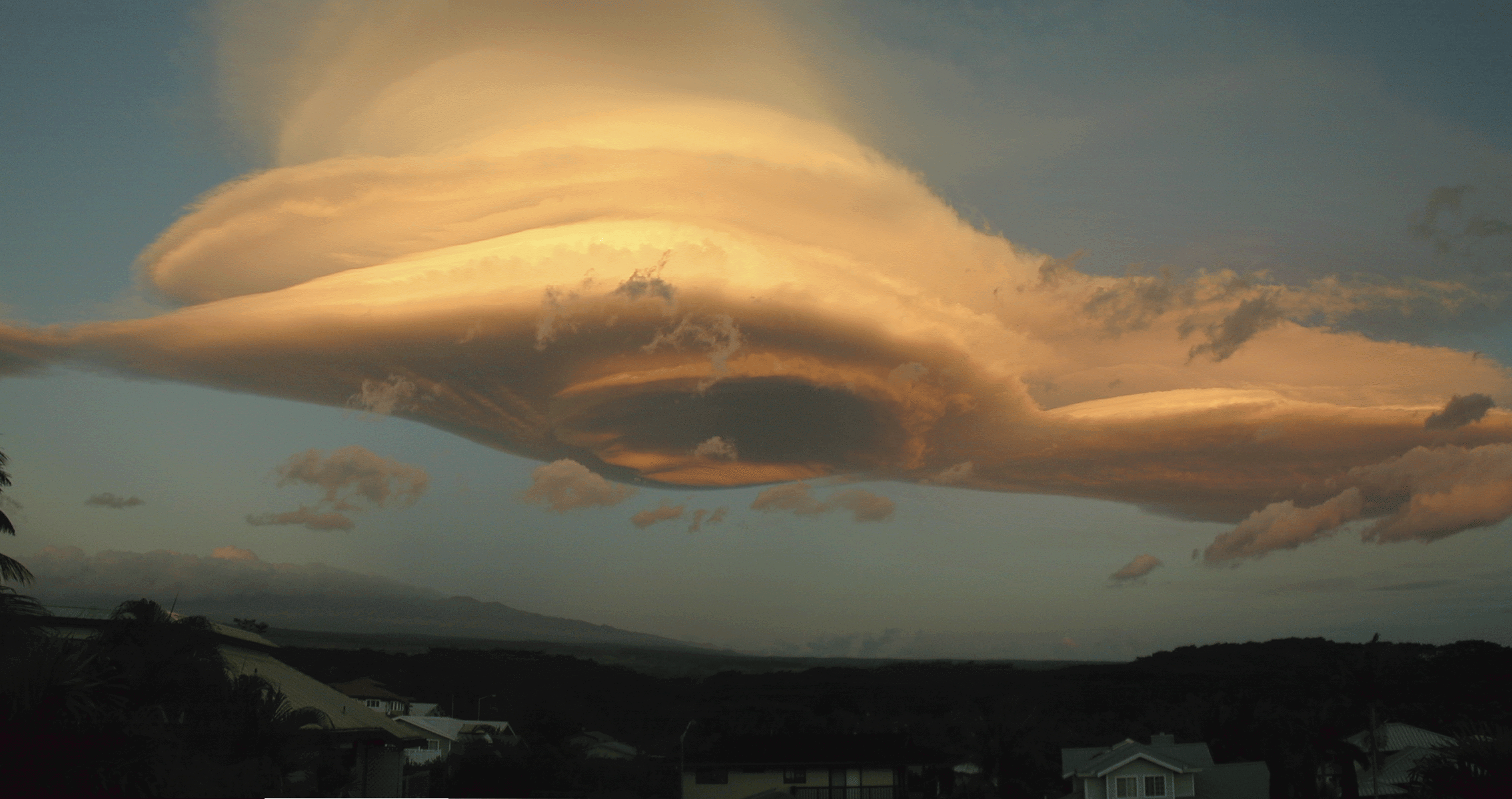 Lenticular | |||
| Low clouds (base below 2,000 m); no prefix | |||||

Stratus |
 Nimbostratus |
 Cumulus |

Stratocumulus |

Cumulonimbus |
 Fog |
More clouds and a nice chart from UCAR.
You can download a S'COOL Cloud ID chart and other materials from our Materials Page.